Project Examples
Wireless Coverage Maps
Outdoor RF Coverage
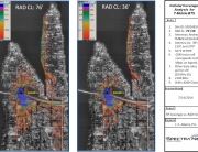
Cellular coverage for 2100 MHz 3-sector LTE BTS using 1/3 second elevation and no clutter.
Outdoor Coverage Using LIDAR Clutter
GIS, Outdoor RF Coverage
Cellular coverage for 2100 MHz 3-sector LTE BTS using 1/3 second elevation and high-resolution LIDAR clutter.
Spokane 700 MHz LTE RF Coverage
GIS, Outdoor RF Coverage
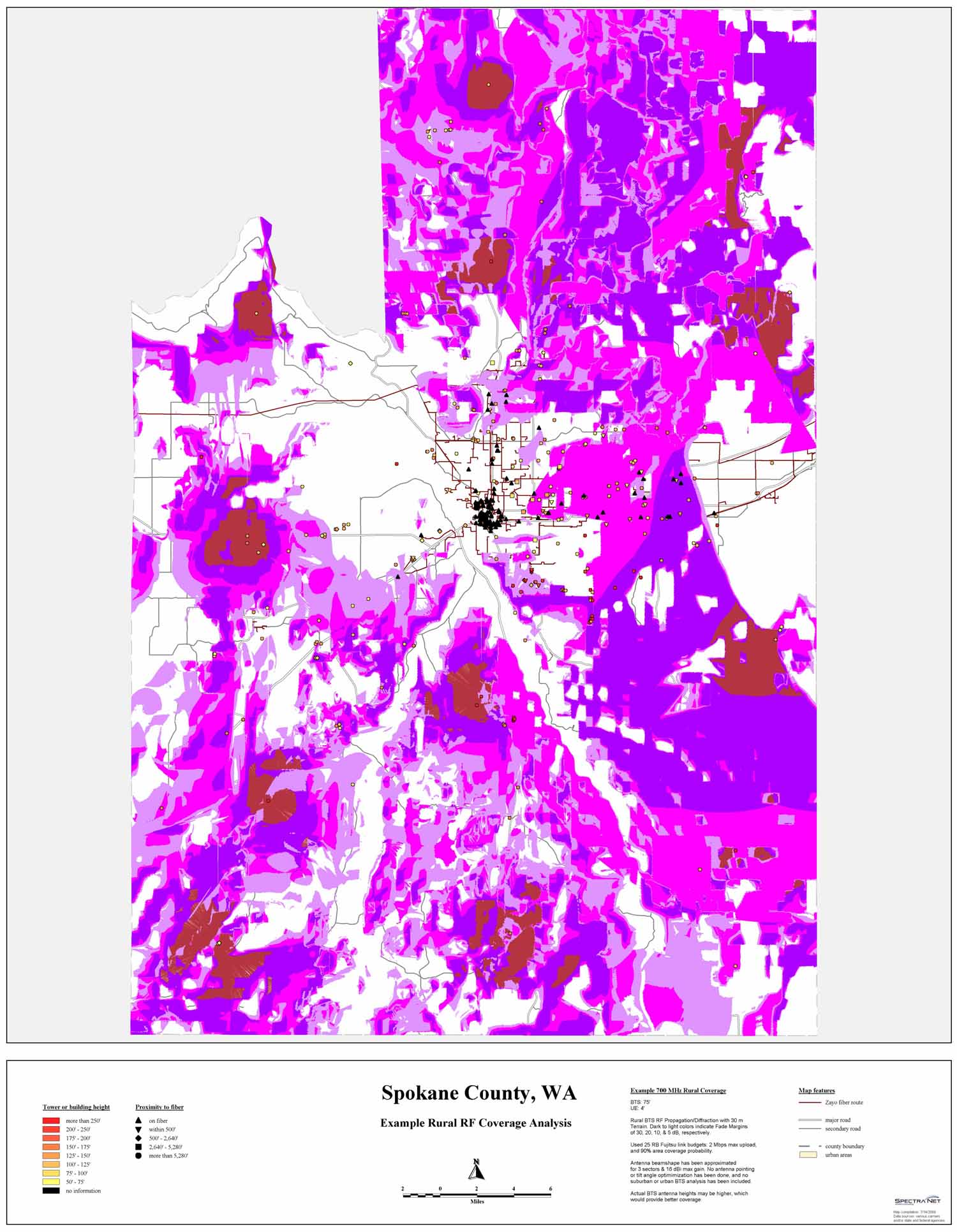
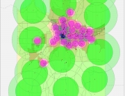
RF Coverage for 700 MHz LTE for multiple cell sites in Spokane County.
Spokane 700 MHz LTE RF Coverage
GIS, Outdoor RF Coverage
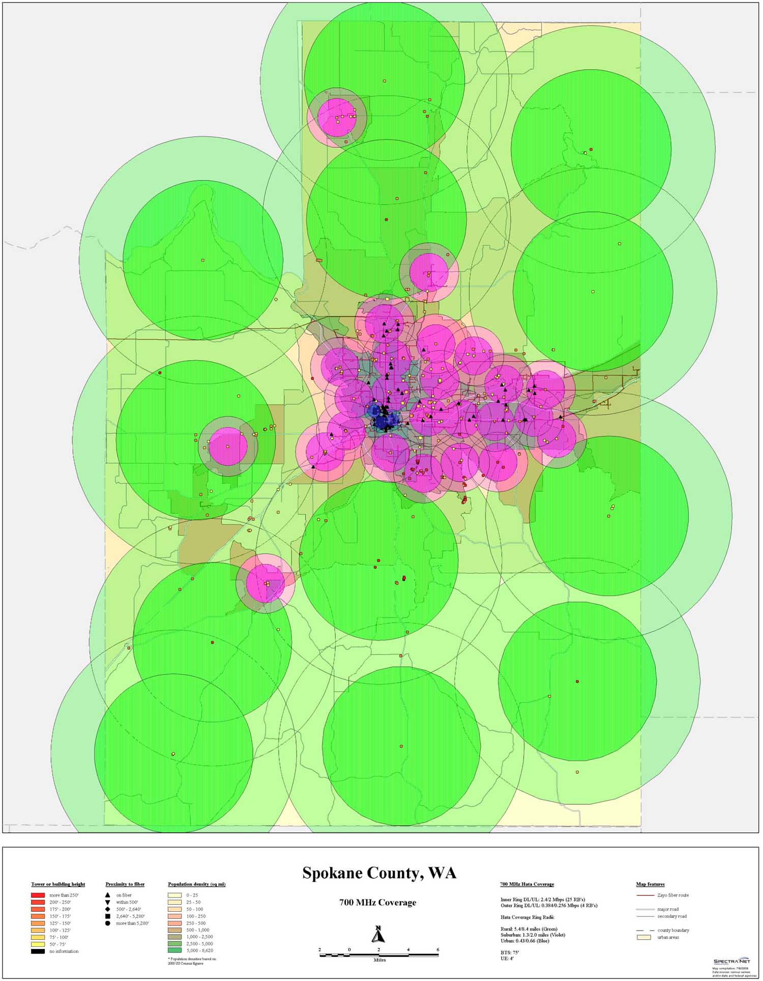
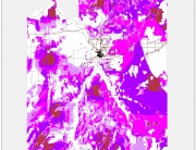
RF coverage calculation using Hata model for urban, suburban, and rural areas in Spokane County.
Broadband Wireless–Financial Analysis
Outdoor RF Coverage, System Engineering/Modeling
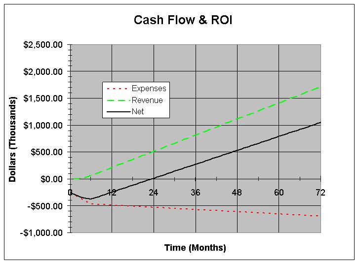
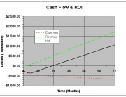
Financial analysis for a particular outdoor broadband wireless deployment assuming certain monthly subscription fees, market penetration, base station density, capital, and recurring network expenses (ROI = Return on Investment).
RF Loss Through Trees
Outdoor RF Coverage, System Engineering/Modeling
Example RF Loss versus tree depth at various frequencies. Exact loss coefficients will depend on the tree type and density (evergreen, deciduous, wet evergreen forest, etc.).
Satellite Ground Station Noise Measurements
Outdoor RF Coverage, Point-to-Point Links, System Engineering/Modeling
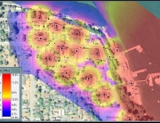
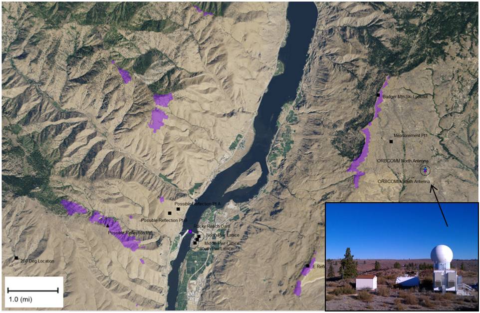
Violet areas are near-line-of-sight regions common to the suspected noise source and the Satellite ground station, which experienced more noise when pointed in the Azimuth direction of a hydroelectric dam.


