

Since 2004, SpectraNet has been providing wireless consulting for cellular carriers, enterprise, homeland security, and government. Service descriptions and project examples can be found in the below categories.
Microwave Backhaul
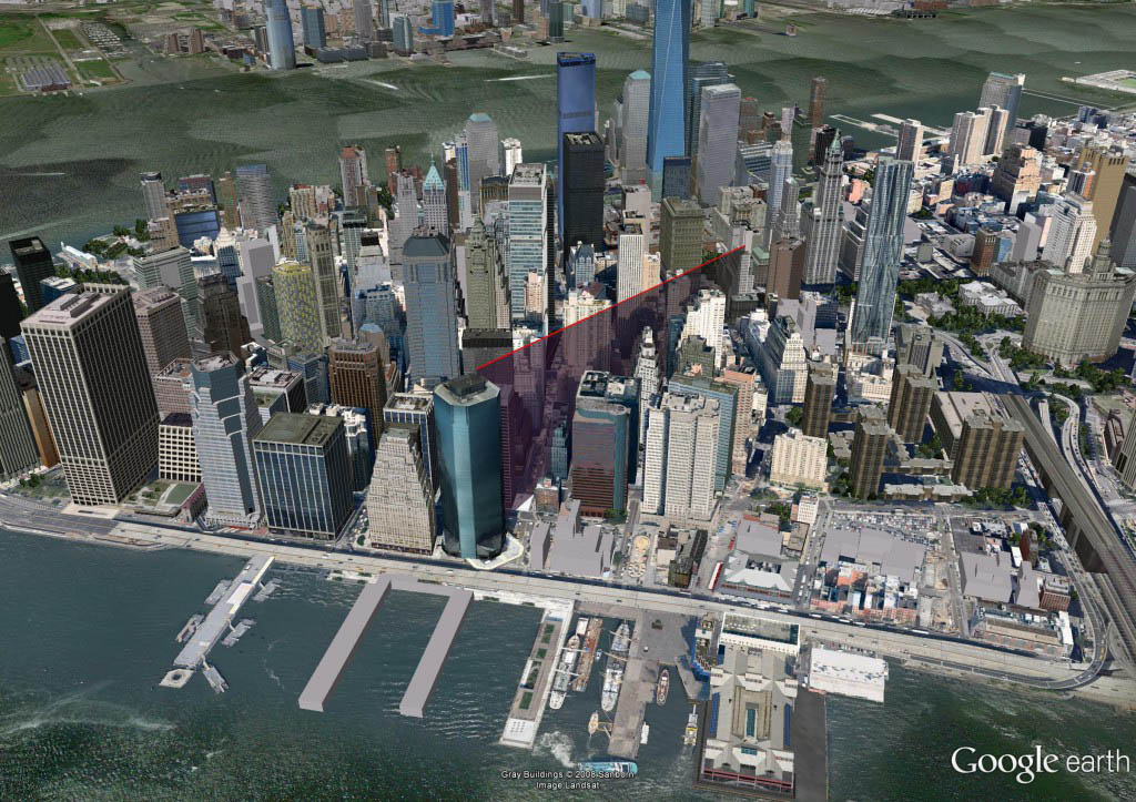
Point-to-Point Links
Links and Fresnel zones from microwave software package can be imported into Google Earth to validate line-of-sight.

Wireless Coverage Maps
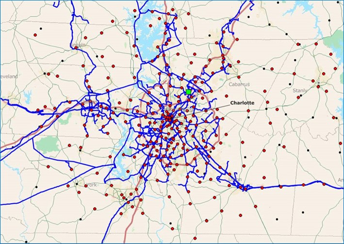
Outdoor RF Coverage
Cellular coverage for 2100 MHz 3-sector LTE BTS using 1/3 second elevation and no clutter.
In-Building Wireless
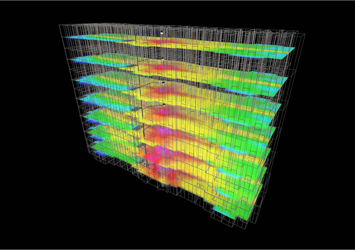
Indoor RF Coverage
I-DAS receive signal strength for 2100 MHz LTE taking into account all wall, door, and floor RF properties.
System Engineering & Modeling
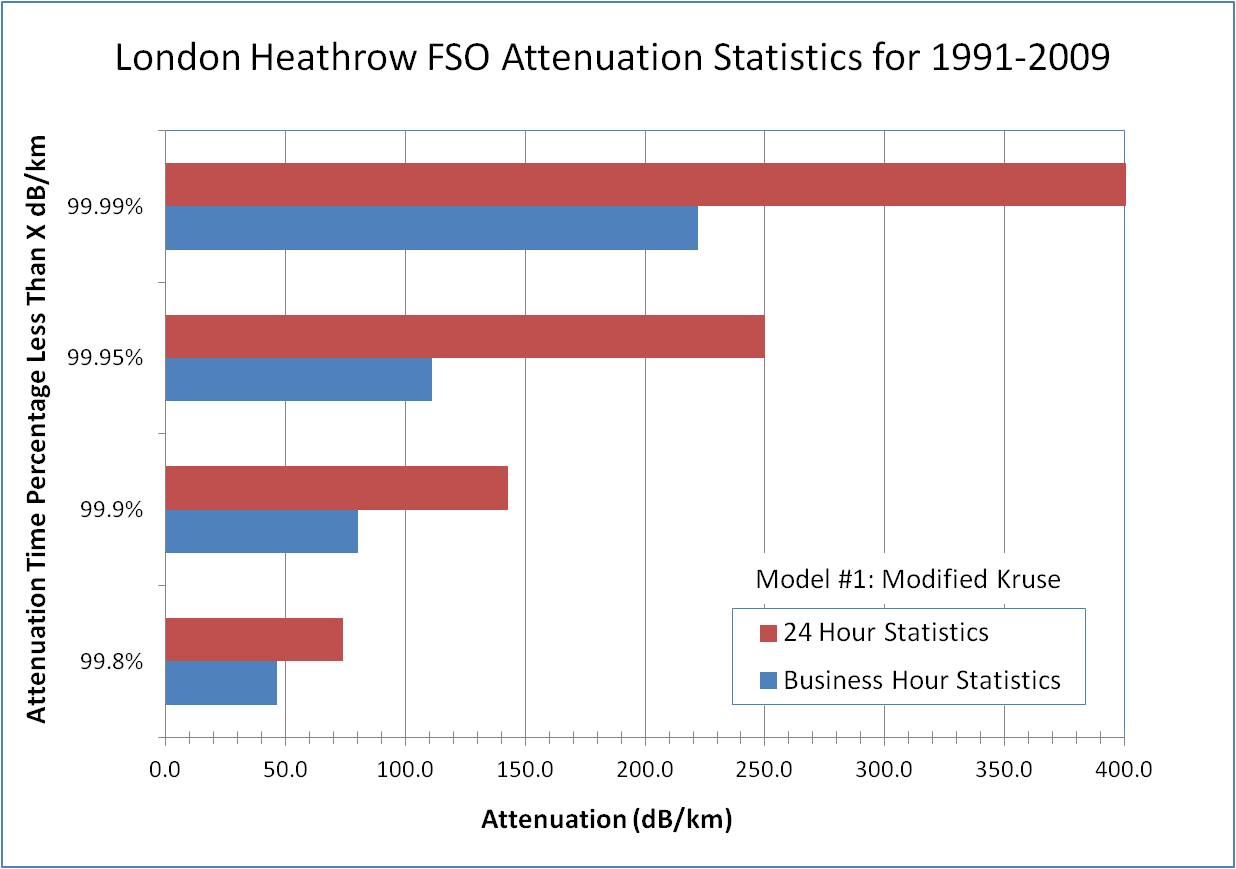
System Engineering/Modeling
Visibility statistics for London converted to attenuation statistics in dB/km loss. Crunched data was 5 minute visibility from Heathrow Airport. This data can be used for Free Space Optics (FSO) link budgets to determine things like link availability versus link distance given the FSO terminal specifications.
Photonics & Fiber-Optics
Photonics & Fiber-Optics
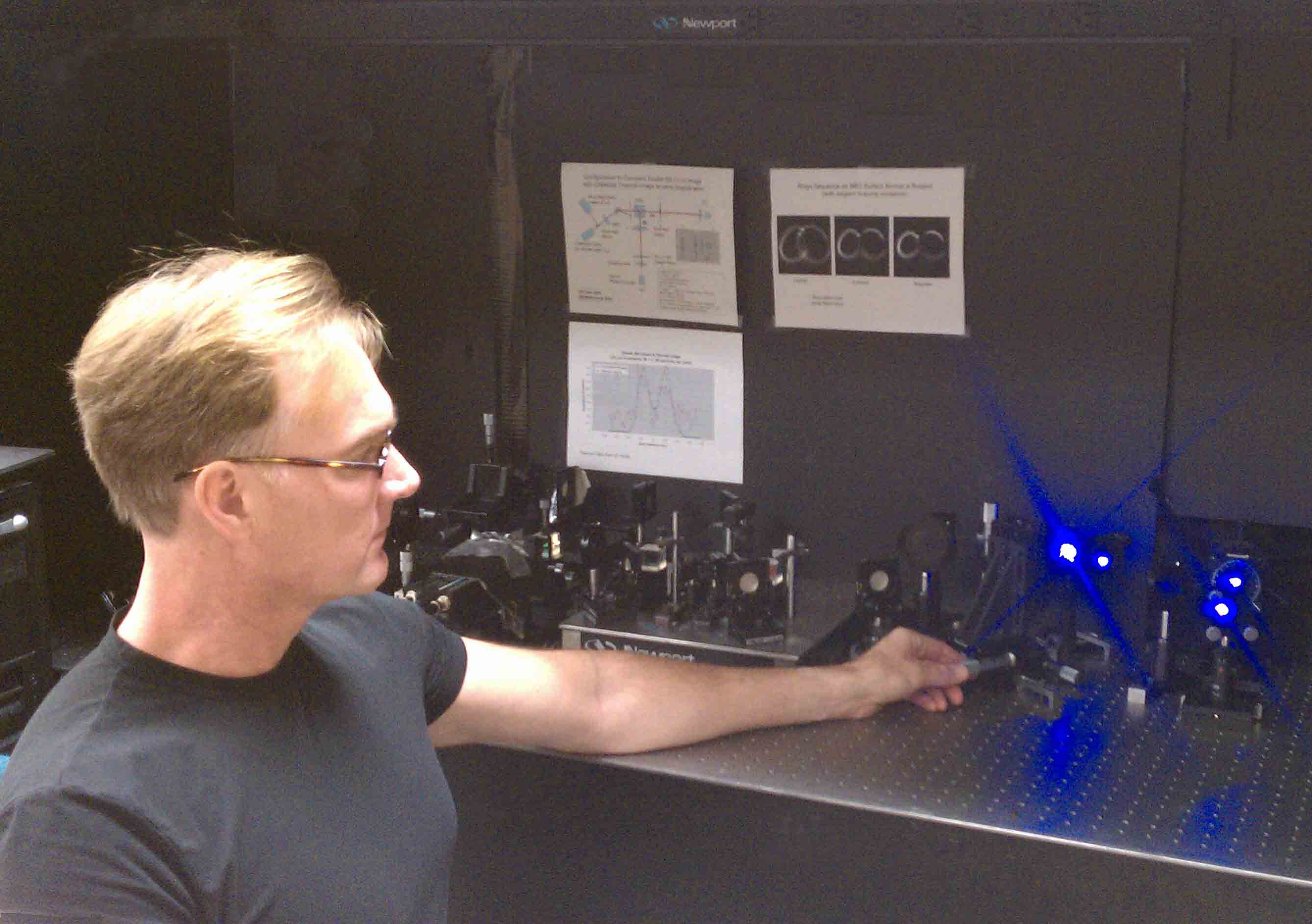
Quantum Entanglement experiment using SPDC produced from a type II cut Beta Barium Borate (BBO) crystal pumped with a 406 nm UV laser.